


CARTOGRAPHY
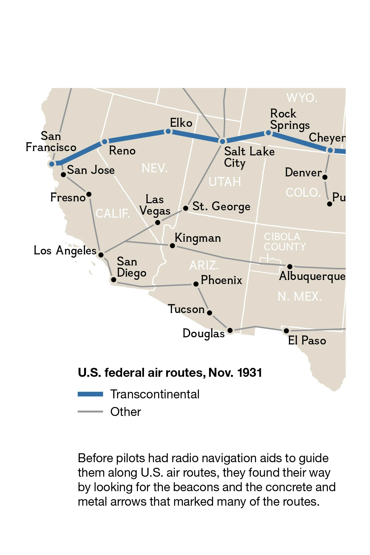
Intense historical airway map research was required to create this seemingly simple map for a regional editions of National Geographic Magazine article “Pointing the Way” (April 2014). In the process, I became obsessed with learning about airway beacon arrows, built in the 1920s before radio telecommunication. Up to 70 feet long and painted yellow or other highly visible colors, arrows were placed 10 to 15 miles apart and at night were illuminated by beacons. Pilots flying at low altitudes, typically under 3,000 feet, could see from one to the next. Today, you can join fellow beacon enthusiasts and locate arrow remnants using Google Maps imagery.
Credit: NG Staff, Jamie Hawk
© Jamie Hawk 2014